C-MAP Discover Niederlande & Belgien - Nordseeküste u. Binnengewässer EN-Y216

Chart ID: EN-Y216

€139.00*

% €153.51* (9.45% saved)
 
Information about your plotter
Please let us know which plotter you would like to use this product for.
Bitte tragen Sie die Marke und die Modellbezeichnung Ihres Plotters in das Textfeld ein. Wir werden intern prüfen, ob dieses Produkt mit Ihrem Plotter kompatibel ist. Mit dieser Information können wir Fehlbestellungen verringern und Ihnen mitteilen, wenn Sie eventuell ein anderes Produkt für Ihren Plotter benötigen.
Bitte geben Sie eine Telefonnummer an, unter der wir Sie erreichen können, falls Ihre Angaben zum Plotter nicht ausreichen oder Ihr Modell nicht zur gewünschten Karte passt.
Information about your plotter
Share your configuration
 
Product number: 31849

Description

Electronic nautical chart for Dutch and Belgian water sports areas - North Sea Waddenzee Scheldt Estuary IJsselmeer and other inland waters - for navigation with modern chart plotters from Lowrance Simrad or B&G

Further development of C-MAP a modern vector chart for water sports enthusiasts in Belgium and the Netherlands. Power boaters anglers and sailors use the nautical chart for safe cruising along the North Sea coast or when travelling across the IJsselmeer and the other inland waterways.

Coverage

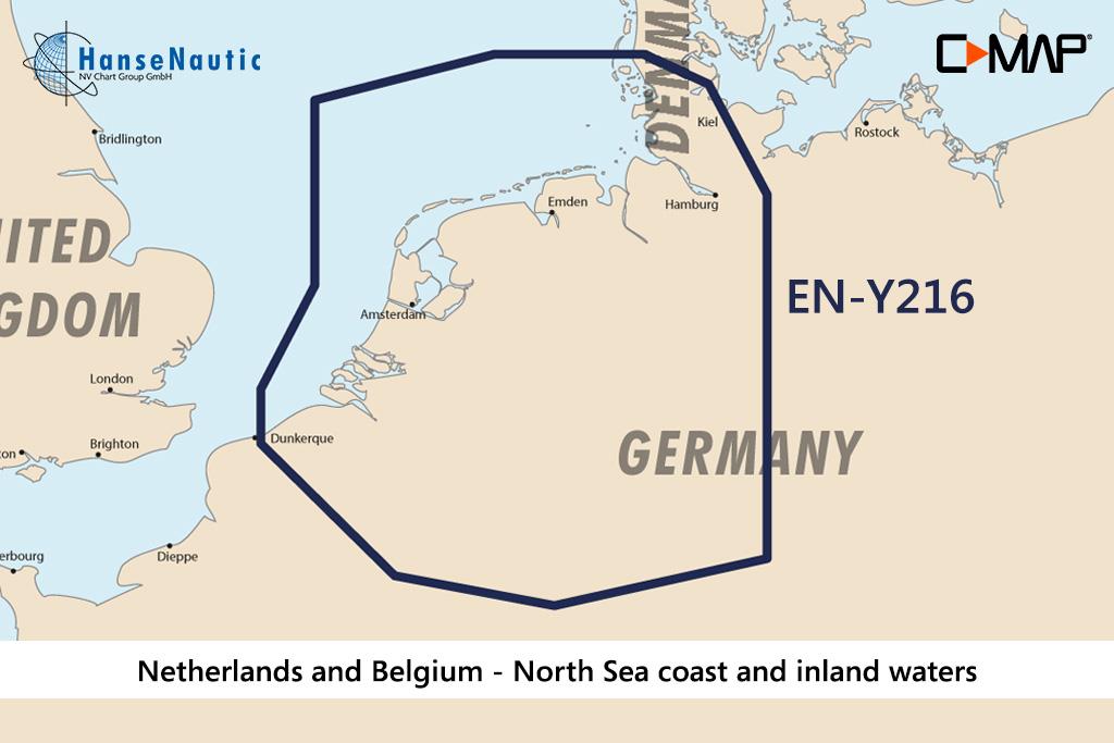
The C-MAP Discover Netherlands & Belgium - North Sea Coast & Inland Waters is a medium coverage summarising a large area of the inland waters of Western Europe and the coast to the North Sea. EN-Y216 covers these areas:

  • North Sea coast from Dunkerque to the German Bight
  • Waddenzee (NL) and Wadden areas in Germany
  • River mouths to the North Sea of Schelde Rhine Ems Weser Elbe and Eider
  • Dutch inland waterways from Friesland to Zeeland
  • IJsselmeer Markermeer and Randmeeren
  • Navigable waterways (rivers and canals) in Belgium
  • Inland waterways in north-west Germany

The electronic nautical chart EN-Y216 is designed for extensive voyages on the inland waterways of Belgium and the Netherlands. It gives crews the ability to support even longer coastal crossings with electronic navigational information. Even on smaller boats the large coverage allows flexibility in the choice of watersports area.

Data carrier

This C-MAP Plotter Chart Dutch and Belgian Watersports Areas is supplied on an mSD data carrier which is included in an SD card adapter.

Features of the C-MAP Discover

The Electronic Marine Charts C-MAP Discover are modern vector charts for chartplotters on recreational boats. They contain all nautical information and complete set of navigational indications. With these chartplotters you can plan your voyages on board keep an overview while cruising and zoom into details for entering harbours.
The Discover charts from C-MAP have the following range of functions:

  • All nautical charts of the selected area from the harbour or lock plan to the planning map for larger sections and groups of waters.
  • Vector maps allow stepless zoom between small and large scale values of the nautical chart
  • High resolution bathymetric data show depth contours condensed to 30cm intervals. This feature can be shown or hidden.
  • Tide data incl. high and low tide times as well as current data - A tide calendar and a current atlas are integrated into the chart
  • Easy Routing is the function developed by C-MAP which calculates a suggested route using the nautical chart and your boat dimensions especially draught.

Compatibility

The new C-MAP Discover products launched in 2021 are also compatible with all modern chartplotters from Simrad B&G as well as Lowrance as the successor of the MAX-N+ technology. Please check the compatibility list


Revocation excluded

These nautical charts are produced by us for you on customer request in order to always provide you with the most up-to-date data. For this reason, the charts are excluded from exchange and revocation.

Format: mSD-Karte
Size: Medium
Area preview

With the help of our area preview, you can get an impression of which geographical region the product deals with or which areas a nautical chart covers.

Related products to this item

Related products to this item

-26 %
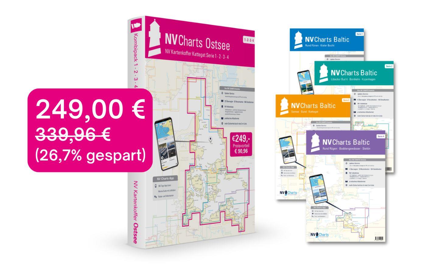
NV Charts Baltic Sea Chart Box incl. Region 1-4
 For all those who like to save and whose district is called the German and Danish Baltic Sea. With the Baltic Sea Case Series 1-4 our single map sets are offered to you at a special price of 198

€249.00* €339.96* (26.76% saved)
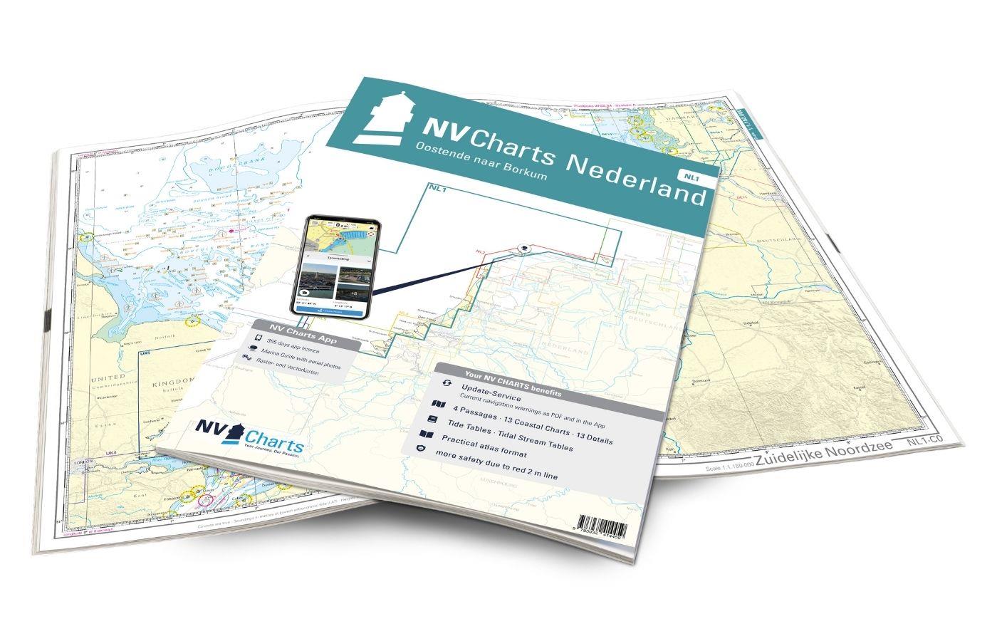
NV Charts Nederland NL1 - Borkum naar Oostende
The NV Charts Nederland NL1 Oostende naar Borkum  is a chart series specially designed for recreational boating and contains the nautical charts in various sizes, as well as all harbour plans and

Variants from €51.99*
€64.99*
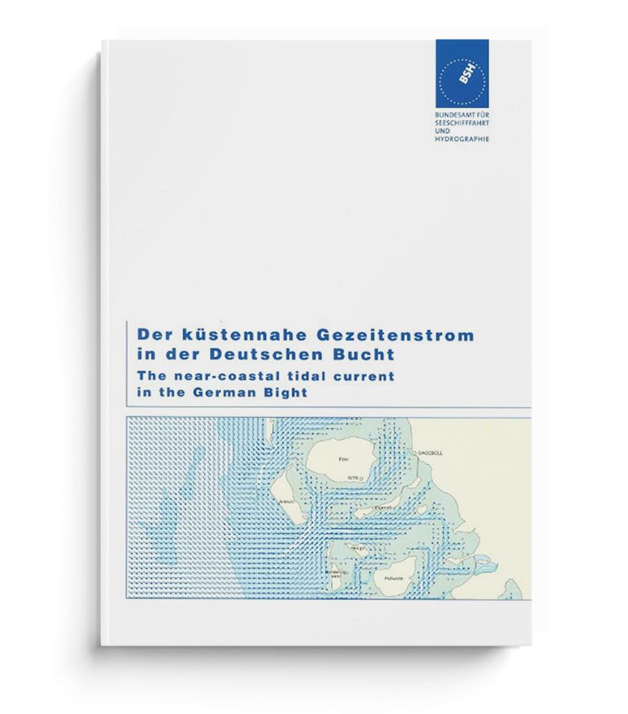
Der küstennahe Gezeitenstrom in der Deutschen Bucht (BSH 2348)
Current atlas from the BSHThe nearshore tidal current in the German Bight (BSH 2348). Edition 2017. Current atlas with detailed representation of the current conditions in the estuaries and tidal flat

€31.00*
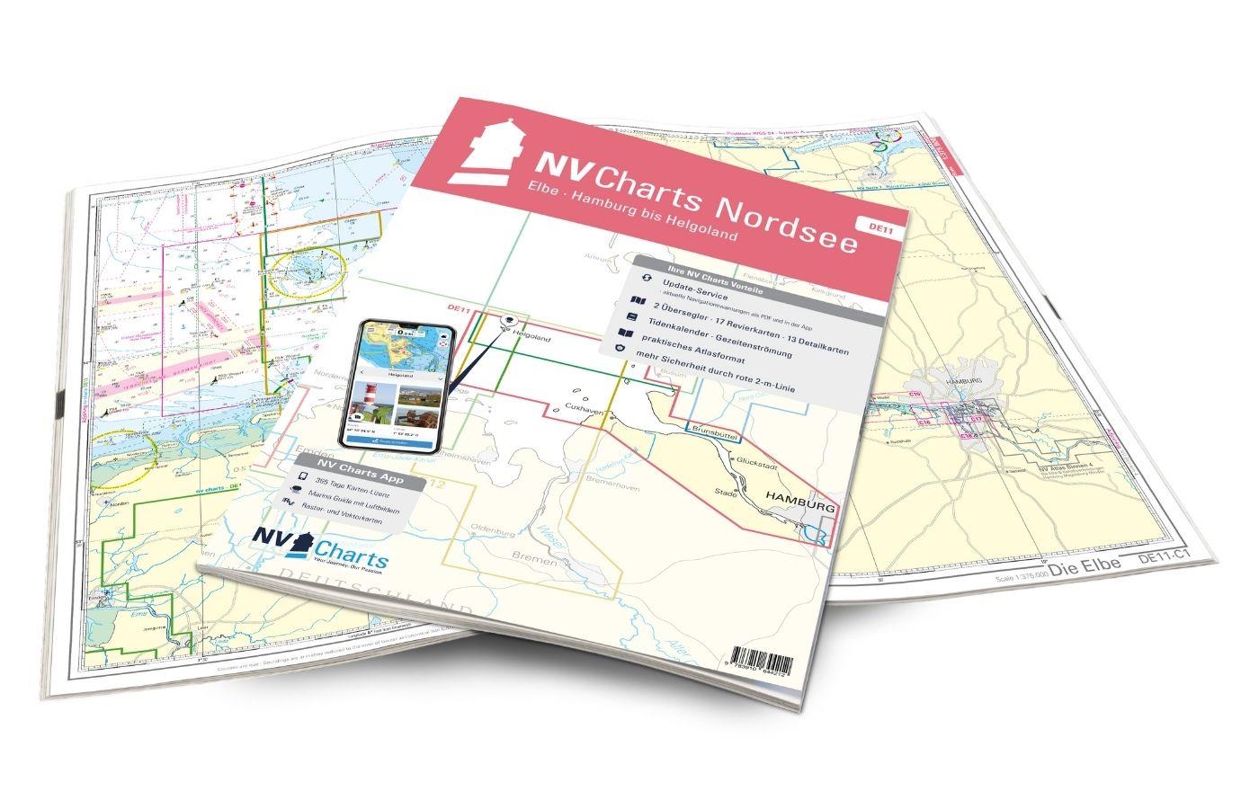
NV Charts Nordsee DE11 - Elbe, Hamburg bis Helgoland
Hamburg to Helgoland, the world-famous northern German port city and Germany's only offshore island. The chart set DE 11 Elbe to Helgoland takes you from the Port of Hamburg via Stade, Glücksstadt to

Variants from €58.49*
€64.99*
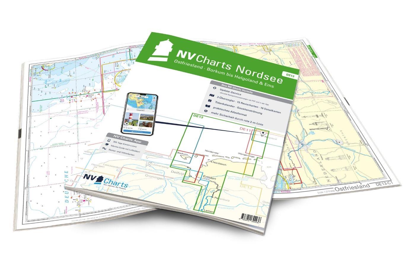
NV Charts Nordsee DE13 - Ostfriesland, Borkum bis Helgoland & Ems
The East Frisian islands of Borkum, Juist, Norderney, Baltrum, Langeoog, Spiekeroog and Wangerooge are both attractive and demanding. Seemingly endless expanse, the fresh breeze and long beaches chara

Variants from €58.49*
€64.99*
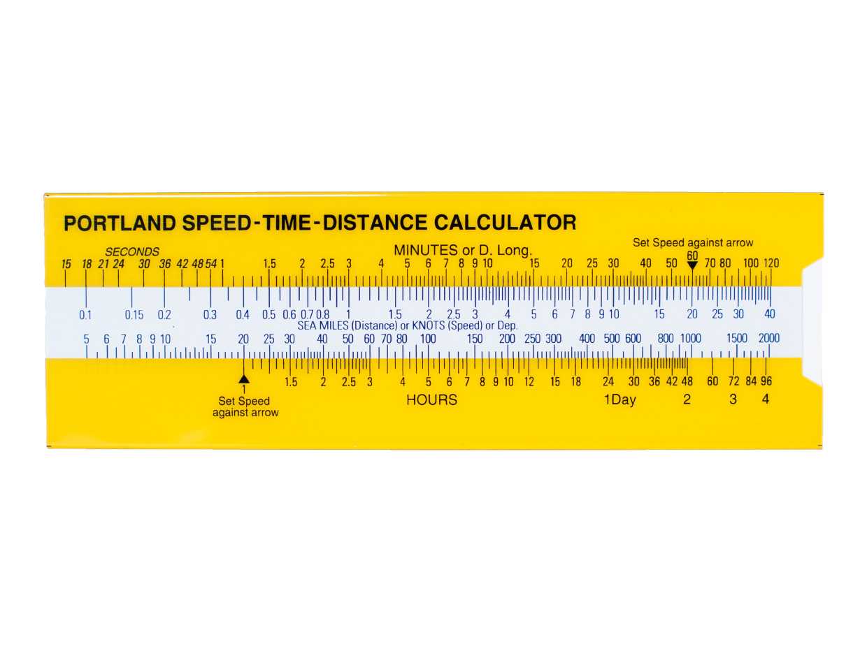
Portland Speed-Time-Distance Calculator 655.31
Portland Speed-Time-Distance-Calculator.With the help of the Portland Speed-Time-Distance-Calculator it is possible to determine the distance travelled at any time for a given speed. Likewise the requ

€11.40*

Products near this article

Products near this article

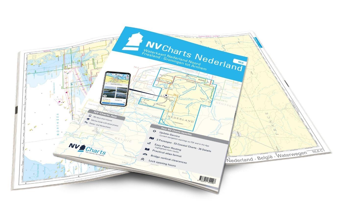
NV Charts Nederland NL6 - Waterkaart Nederland Noord - Friesland - Arnhem
Inland water chart NetherlandsFor the northern part of the inland waters of the Netherlands, the NL6 Waterkaart Nederland North a practical and handy travelling companion. Together with the NL7 (Water

€64.99*
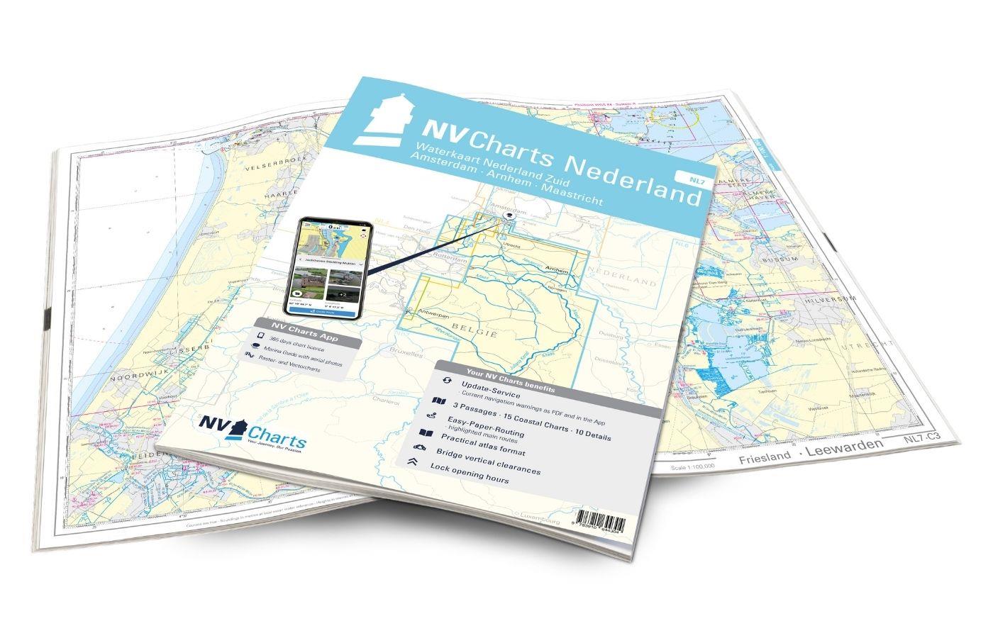
NV Charts Nederland NL7 - Waterkaart Nederland Zuid - Arnhem - Maastricht
For the southern part of the Dutch inland waterways, the NL7 Waterkaart Nederland Zuid is a practical and handy travelling companion. Together with the NL6 (Waterkaart Nederland Nord), the entire inla

€64.99*
ANWB Waterkaart 6 - Twentekanalen
Dutch inland waterway map for the holiday area TwentekanalenThe Dutch inland waterway Twentekanal connects the overijsselsche region with the geldersche Ijssel.Folding map for Dutch inland waterway do

€17.99*
ANWB Waterkaart 4 - Drenthe
Drenthe - Netherlands Inland MapThe north-eastern province of Drenthe is known for its semi-natural national parks and green landscapes with navigable waterways running through them.Folding map for Du

€17.99*
ANWB Waterkaart 7 - Gelderse Ijssel-Zuid
ANWB Waterkaart 7 Netherlands inland map for the Gelderse IJssel-zuid areaGelderland is one of the largest provinces in the Netherlands and is known for its numerous castles and estates as well as

€17.99*
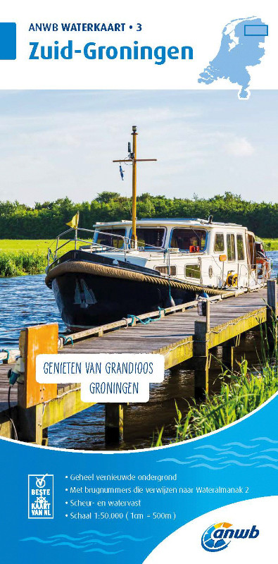
ANWB Waterkaart 3 - Zuid Groningen
Inland map for the area Zuid-GroningenFolded map for Dutch inland area double-sided printed in full colour on thin art paper. Landscape format 100 x 70 cm (folded 25 x 125 cm). The map includes al

€17.99*
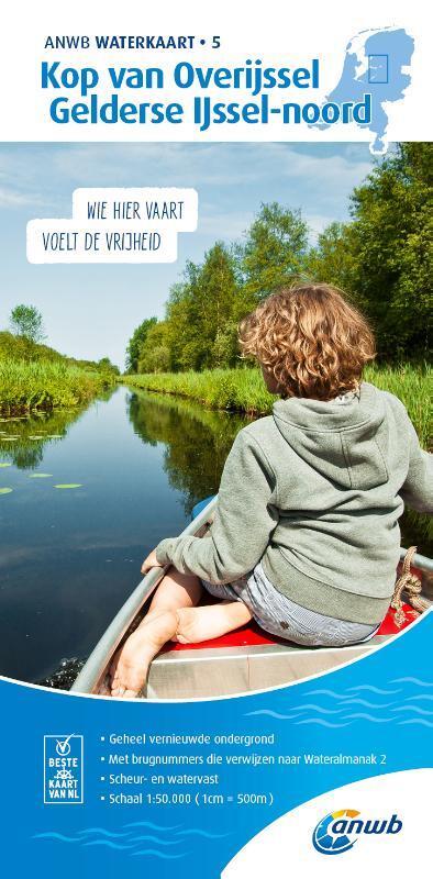
ANWB Waterkaart 5 - Kop van Overijssel / Gelderse Ijssel-Noord
Kop van Overijssel Geldersee Ijssel-noord - Proven Netherlands inland mapThe Kop van Overijssel cruising area easily accessible from the Ijsselmeer is known for its diverse nature. The distances b

€17.99*
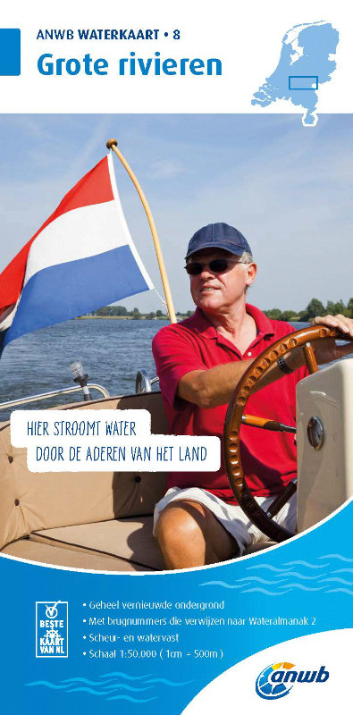
ANWB Waterkaart 8 - Grote Rivieren
ANWB 8: Dutch inland map for Grote RivierenGrote Rivieren - This region is one of the most popular holiday regions in the Netherlands and impresses with its vibrant diversity.Folding map for D

€17.99*
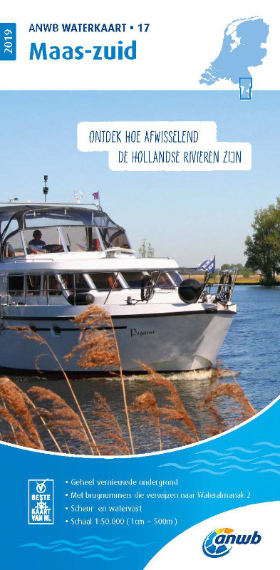
ANWB Waterkaart 17 - Maas-Zuid
Netherlands inland map for the Maas-zuid regionVarious - this describes the region depicted in Waterkaart 17 very well here nature lovers get their moneys worth but also vibrant cities like Maastricht

€17.99*
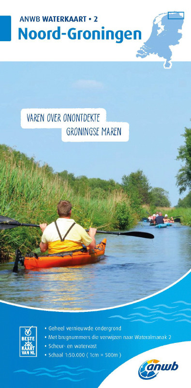
ANWB Waterkaart 2 - Noord-Groningen
Netherlands inland map for Noord-GroningenThe region around Groningen consists of water and marshland as well as sand and moors lined with meadows and forests along the waterways. On the coast seals b

€17.99*
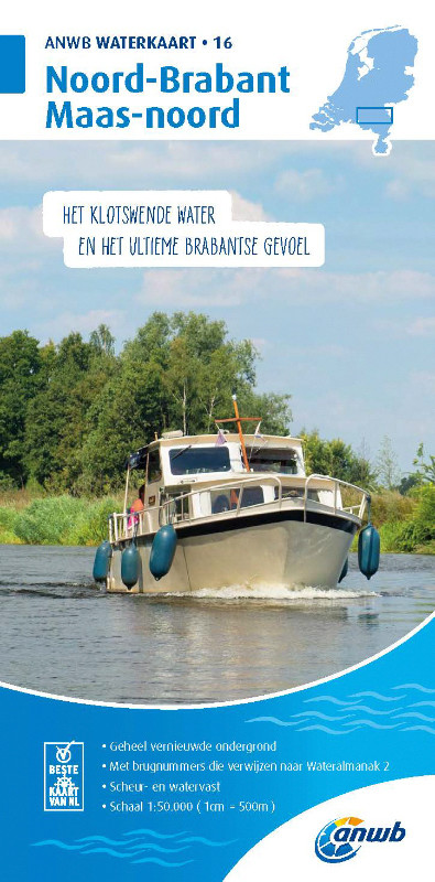
ANWB Waterkaart 16 - Noord-Brabant/Maas-Noord
District map for Noord-Brabant/Maas-NoordFolding map for Dutch inland district double-sided full-colour printed on thin art paper. Landscape format 100 x 70 cm (folded 25 x 125 cm). The map includ

€17.99*

Reviews

0 of 0 reviews

Leave a review!

Share your experiences with other customers.