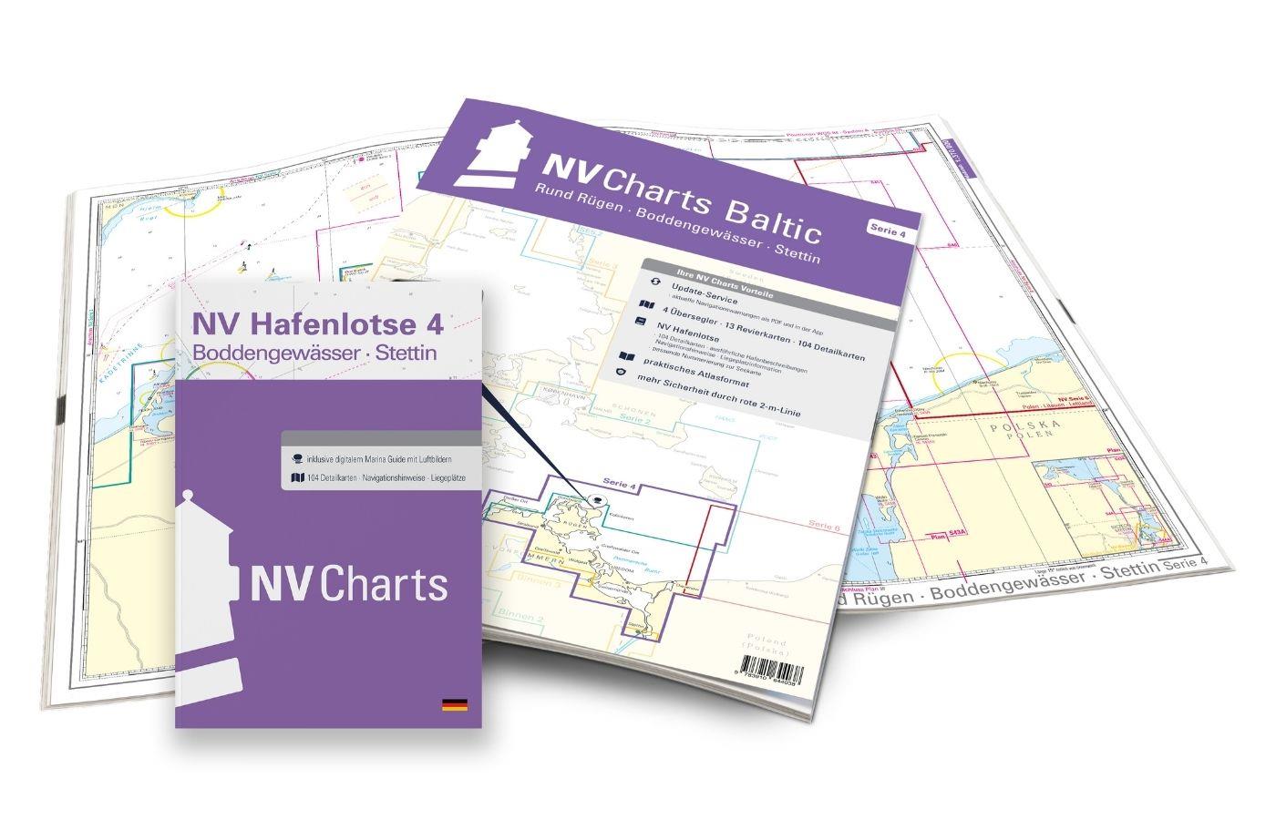
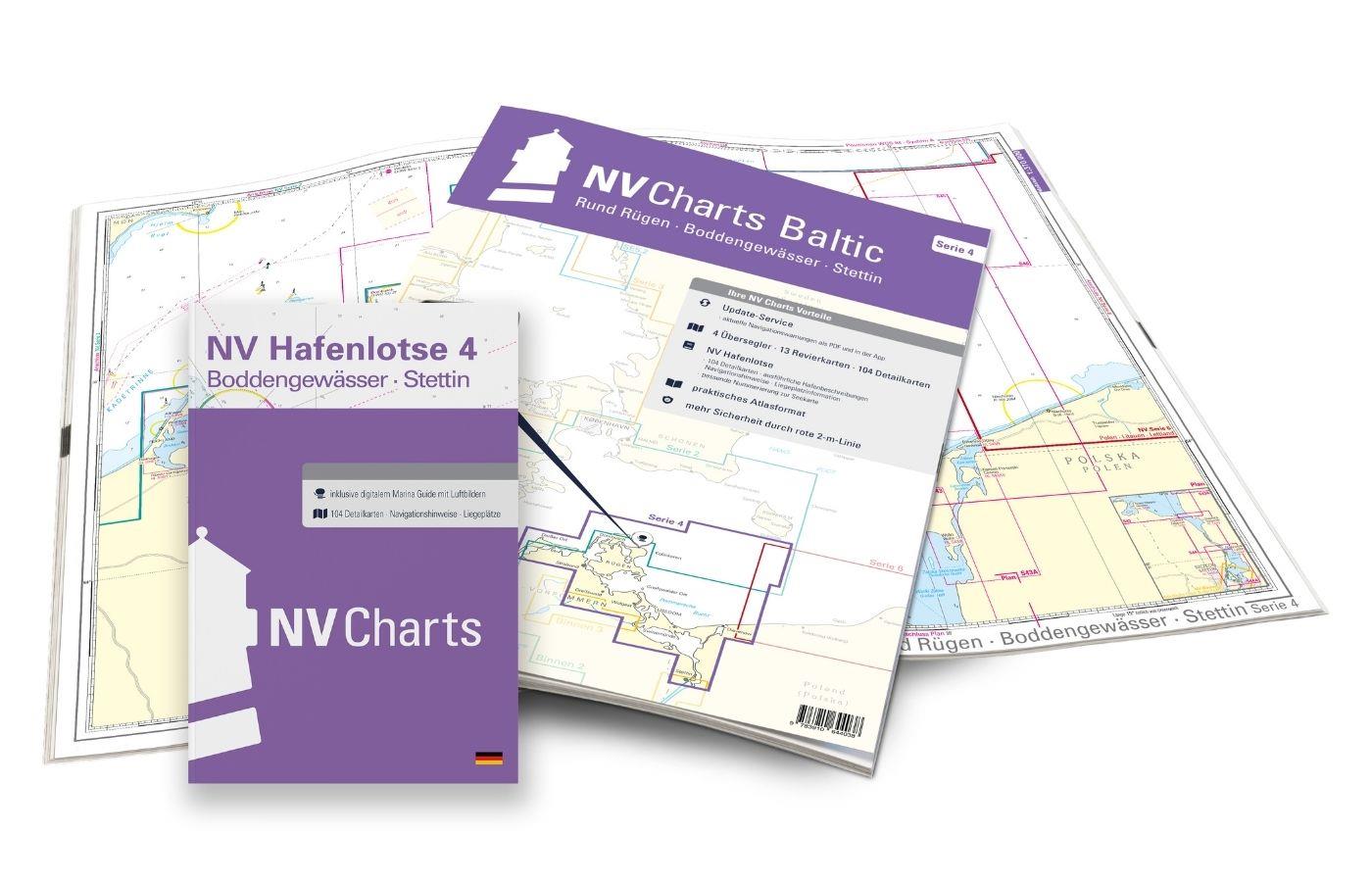
NV Charts Baltic Region 4 - East Germany Rügen to Szczecin, Single-Charts

App charts included
Edition: 2024
Edition Date: 14.02.2024

€74.99*

Subs.available
20% discount with the subscription
Purchase type
 
 
Product number: 1401

Description

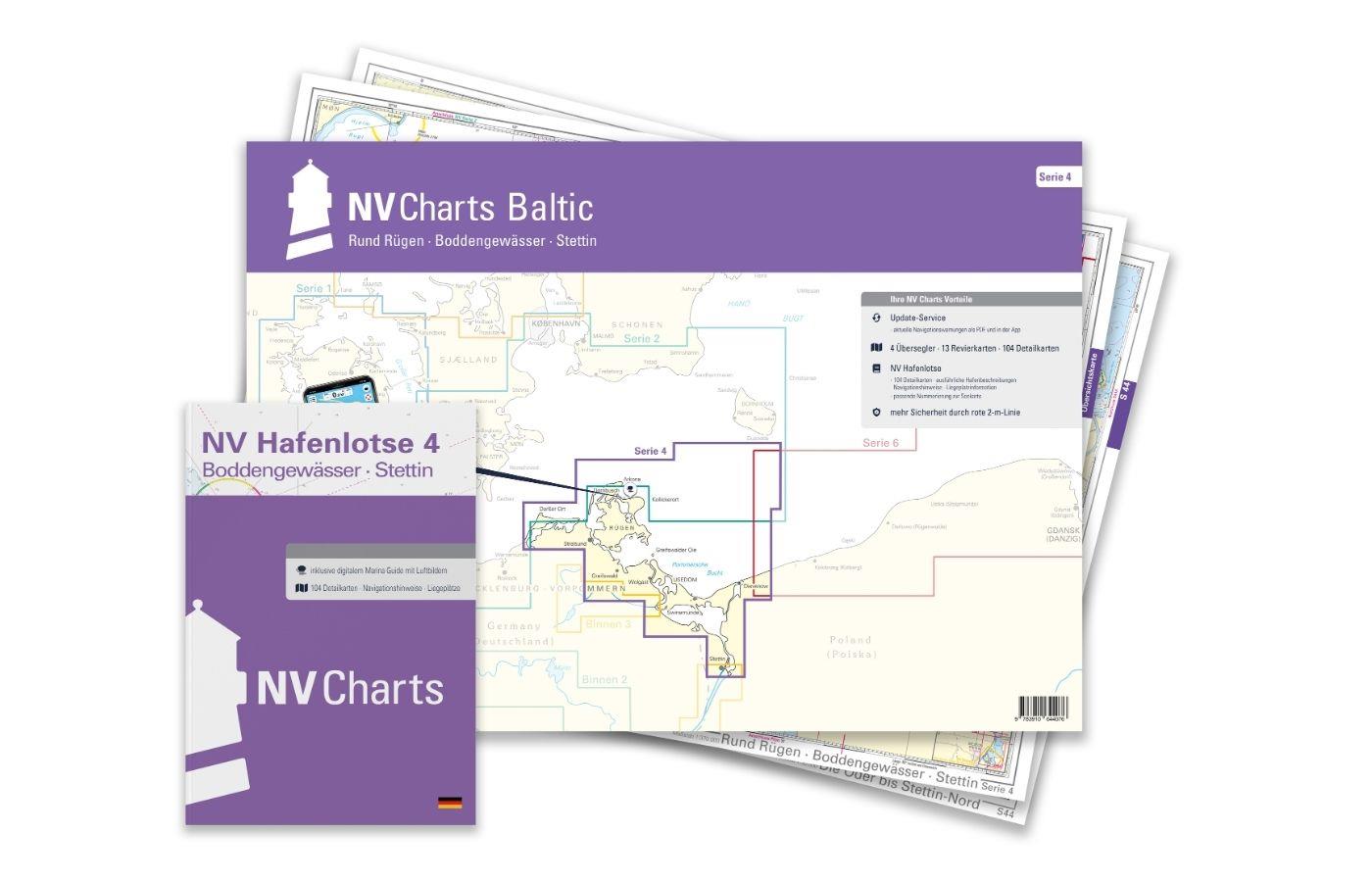
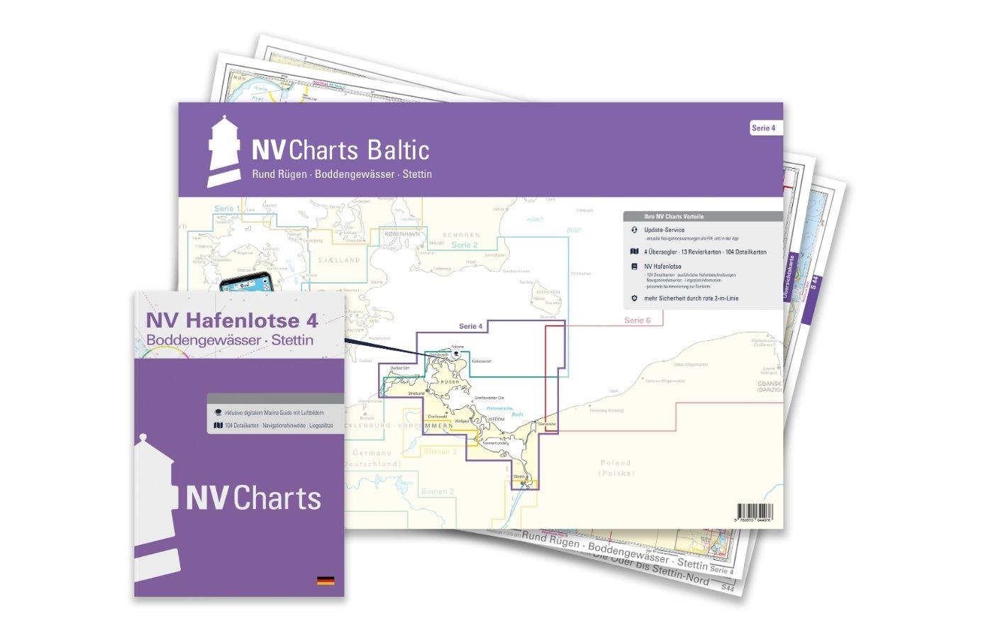
The NV Charts Baltic Series 4 Plano for the sea area Round Rügen - Bodden Waters - Szczecin is a chart series specially designed for recreational boating. It contains the nautical charts in various sizes, as well as all harbour plans and details for approaches and passages in the waters. In addition, there are also passageways for bridges, power lines, etc., as well as all nautical and navigational information. Thanks to the clear layout, the recreational skipper can quickly find approaches, harbours and anchorages and is made aware of navigationally important details that also appear in the NV Charts app. The chart series impresses with its optimal dimensions and balanced sheet sections.

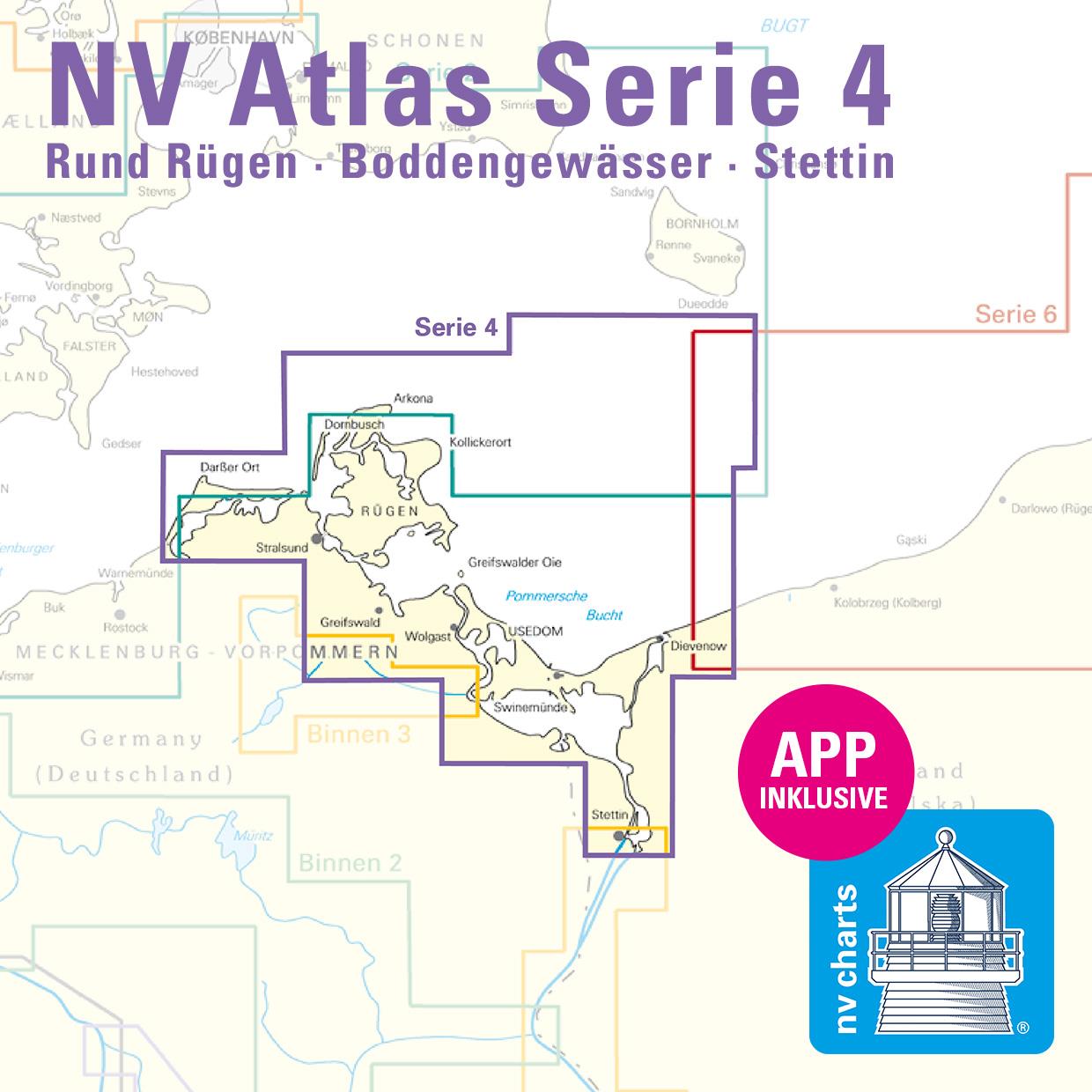
Regions overview

For all water sports enthusiasts who want to get to know the scenically unique Bodden waters around Darusslig, Rügen and Usedom or start from Rügen, Series 4 is the map set that should not be missed. In addition to the Szczecin Lagoon, this series also includes Bornholm.

As an additional recommendation, we offer series 6, which goes along the Polish coast shortly after Swinoumende via Kaliningrad to Lithuania and Latvia as far as the Estonian border. Motorised water sports enthusiasts who are not so afraid of low water levels are excellently served by the inland section 3 Oder & Peene.

This map set contains

  • 4 &sailors
  • 13 territory maps
  • 104 detailed maps
  • Digital charts for navigation programme and NV Charts App 356-day licence
  • new: vector map download
  • Harbour pilot in paper / digital in German and English
  • Navigation instructions in German
  • Fulfils the legal requirements for current paper charts on board recreational craft

All advantages at a glance

  • Always up-to-date: Updated edition every year, monthly correction service from April to October
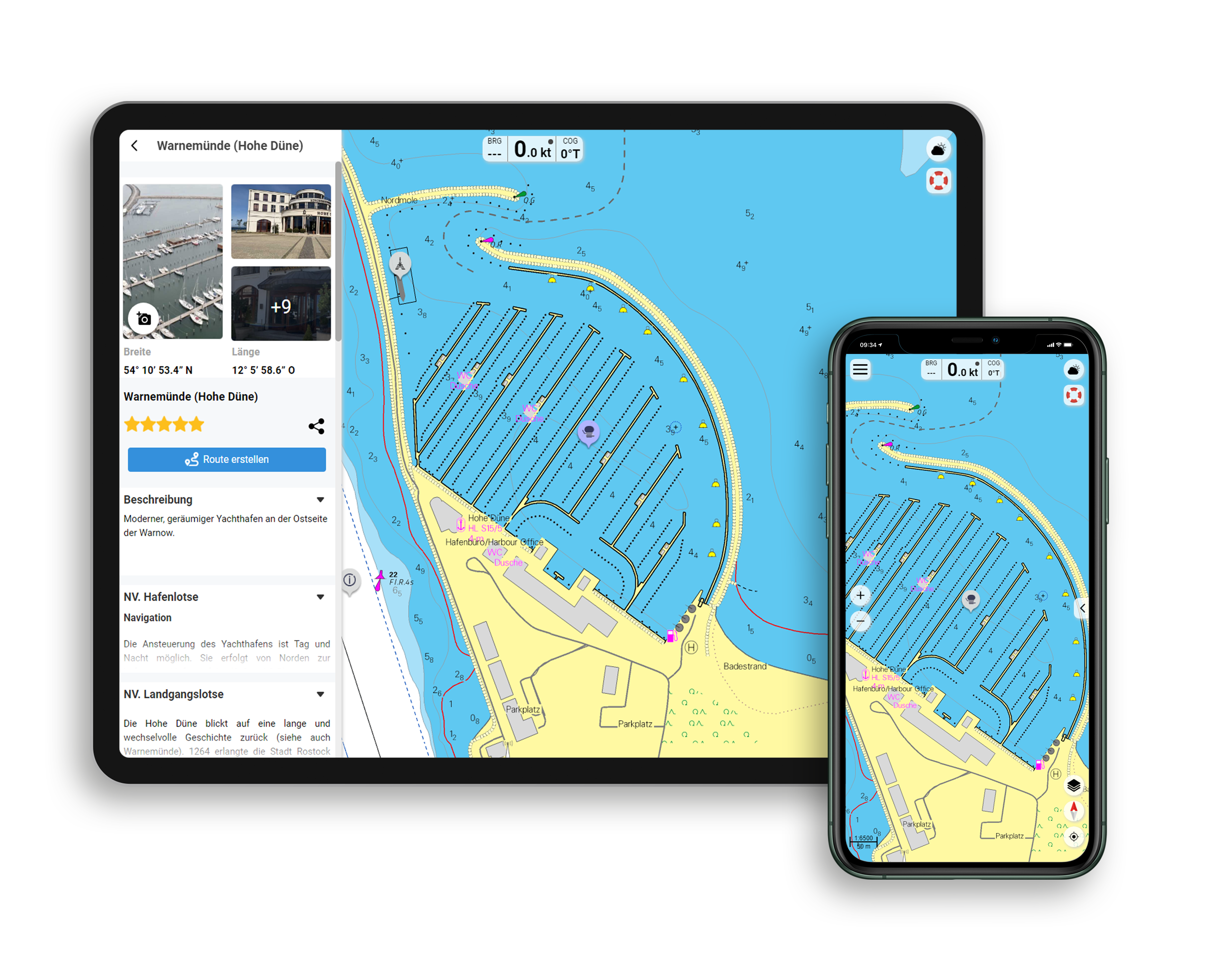
  • NV Charts App: including access code to the digital nautical charts of the purchased area in the NV Charts app with 365-day licence, for offline navigation with the app on iOS, Android, PC, Mac or in the web browser, comprehensive harbour manual
  • Extremely detailed: Nautical charts based on data from official surveys and own surveys, particularly detailed outside the main fairways
  • Optimised for recreational boating

Functions of the NV Charts app

  • Flexible autorouting
  • Satellite overlay
  • Augmented reality
  • VMG (Velocity Made Good)
  • BoatView harbour guide
  • Track recording
  • AIS connection and much more.
Find out more now

Charts and measures included

Übersegler

General map series 4 1:370,000 , S 25 Bornholm 1:140,000 , S 45 Hiddensee to Swinemünde 1:250,000 , S 46 Rügen to Bornholm 1:230,000

District maps

S 36 The Bodden südl. Zingst 1:60,000 , S 37 Strelasund North 1:60,000 , S 38 Hiddensee to Jasmund 1:60,000 , S 39 Strelasund Süd 1:40,000 , S 39A Stralsund 1:40,000 , S 40 Greifswalder Bodden West 1:60,000 , S 41 Greifswalder Bodden East 1:60. 000 , S 42 Peenestrom Süd 1:60,000 , S 43 Stettiner Haff 1:80,000 , S 43A Dievenow 1:60,000 , S 44 Die Oder bis Stettin-Nord 1:30,000 , S 44A Die Oder bis Stettin-Süd 1:30,000 , S 45A Arkona bis Landtief 1:100,000

Detailed maps

S 25 Christiansø 1:12,000 , S 36 Am Bock 1:25,000 , S 39A Vitter Bodden 1:30,000 , S 39A Häfen Stralsund 1:12,000 , S 41A Ruden to Wolgast 1:40,000 , S 42 Zecherin 1:40,000 , S 43A Dievenow Approach 1:10,000 , S 43A Swinemünde 1:40,000

App License: NV Charts App
Empfehlung: Revierempfehlung Deutsche Ostseeküste
Format: Plano & Einzelkarten
Purchase type: One-time
Area preview

With the help of our area preview, you can get an impression of which geographical region the product deals with or which areas a nautical chart covers.

Related products to this item

Related products to this item

Gebietsvorschau für NV Baltic Region 2  Lübecker Bucht - Bornholm - Copenhagen öffnen
NV Baltic Region 2 Lübecker Bucht - Bornholm - Copenhagen
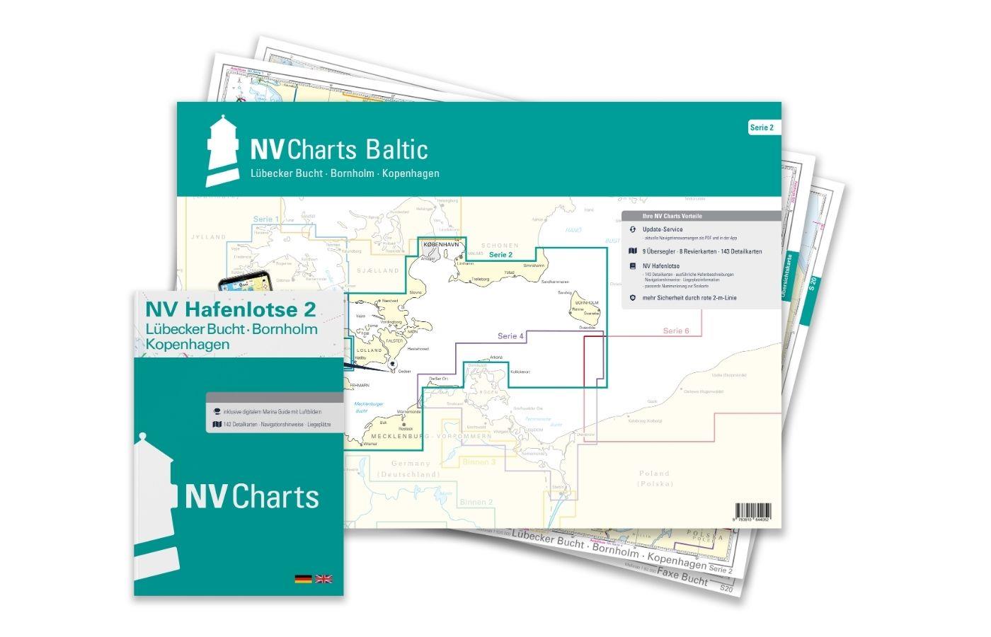
The NV Charts Series 2 Plano for the sea area Bay of Lübeck - Bornholm - Copenhagen is a chart series specially designed for recreational boating. It contains the nautical charts in various sizes, as

Variants from €75.99*
€94.99*
Gebietsvorschau für NV Binnen 3 Kombipack Nördliche Oder & Peene öffnen
NV Binnen 3 Kombipack Nördliche Oder & Peene
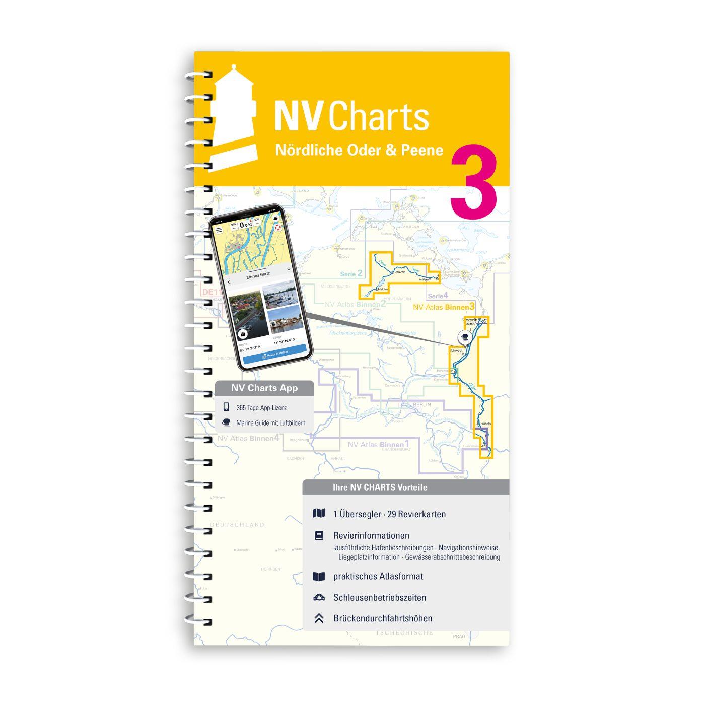
Whoever wants to travel along the German-Polish border down the Oder to historic Szczecin should set out on the journey with Inland Volume 3 of NV Charts. From Eisenhüttenstadt downstream to the Szcze

€44.99*
Gebietsvorschau für NV Charts Baltic Region 6 - Poland - Lithuania - Latvia öffnen
NV Charts Baltic Region 6 - Poland - Lithuania - Latvia
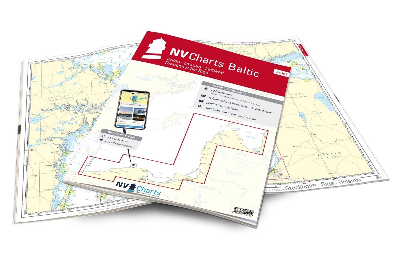
The NV Charts Baltic Series 6 includes the Polish Baltic coast and goes from Lithuania to Latvia . The chart series, specially designed for recreational boating, contains the nautical charts

€94.99*
Gebietsvorschau für NV Binnen 2 Kombipack Berlin & Mecklenburgische Gewässer öffnen
NV Binnen 2 Kombipack Berlin & Mecklenburgische Gewässer
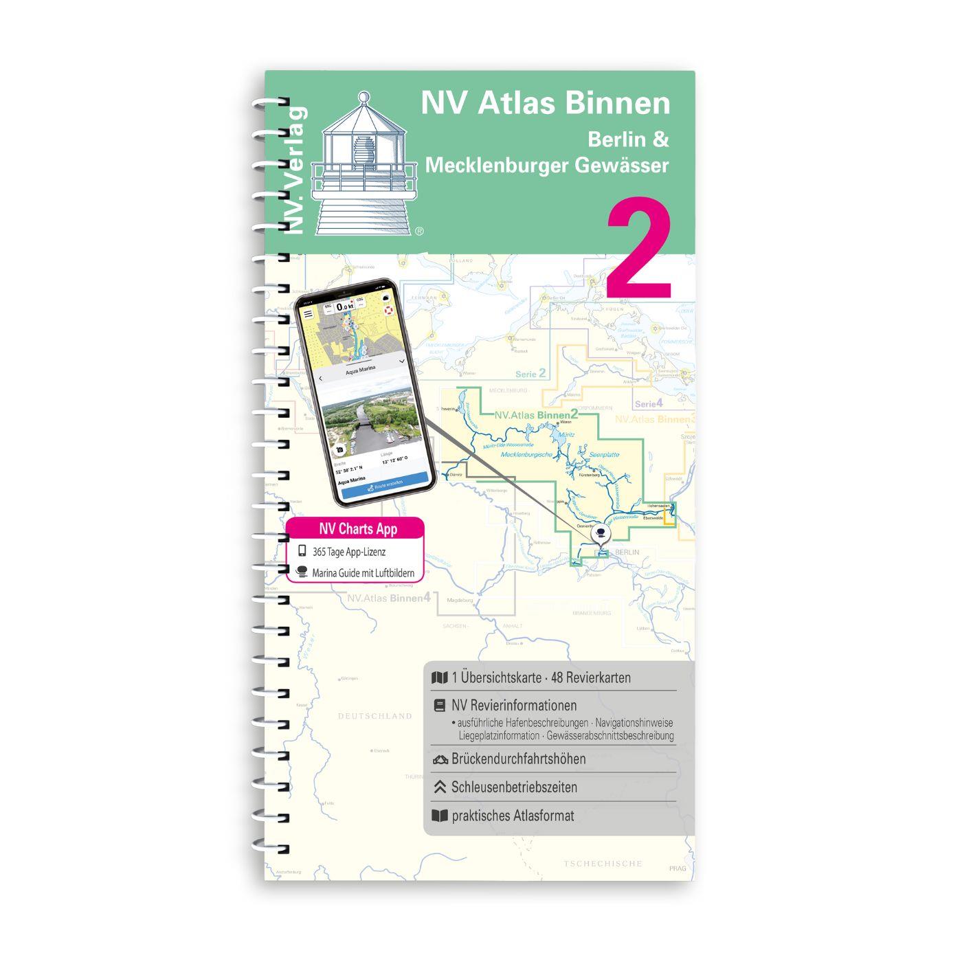
If you are drawn to the largest networked water sports area in Europe you should have the inland volume 2 of NV Charts in your luggage. 1117 natural lakes provide a variety that is second to none. Fro

€44.99*

Last viewed products

Last viewed products

Gebietsvorschau für C-MAP Discover Polen - Binnengewässer u. Ostseeküste EN-Y214 öffnen
-10 %
C-MAP Discover Polen - Binnengewässer u. Ostseeküste EN-Y214
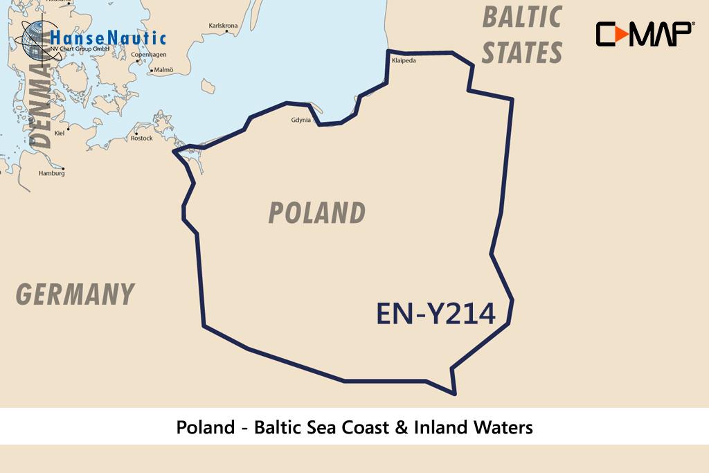
Electronic nautical chart for Polish water sports areas - Oder Masuria and other inland waters as well as the Baltic Sea from Swinoujscie to Kaliningrad - for navigation with modern chart plotters fro

€138.00* €154.00* (10.39% saved)
Gebietsvorschau für Norwegen N 23 Südwestküste Bergens Fjordwelt Bergen bis Fedje öffnen
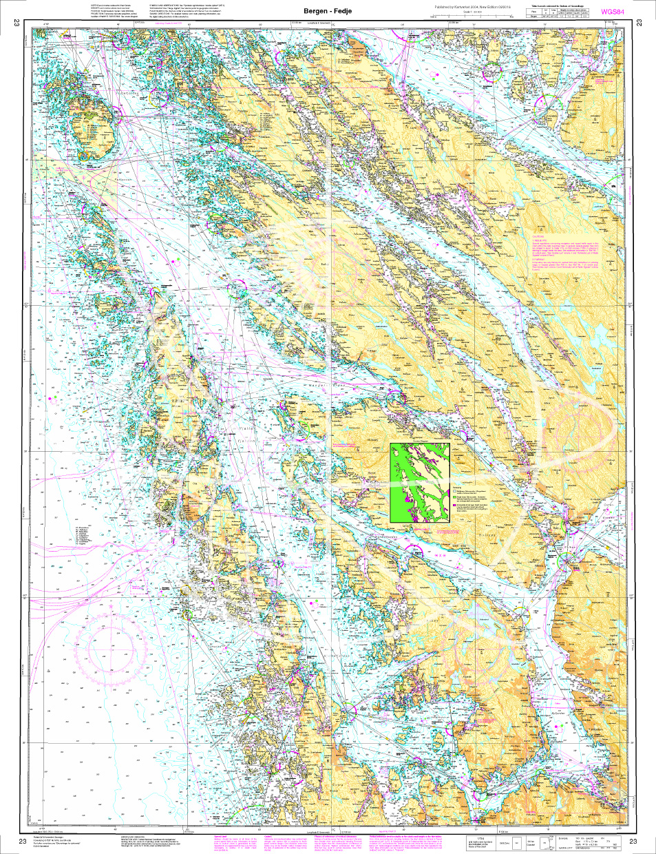
Norwegen N 23 Südwestküste Bergens Fjordwelt Bergen bis Fedje
The Map N 23 covers the fjord world from Bergen northwest to Fedje Island. The detailed scale including all offshore islands is 1:50.000. As a further map we recommendN 119

€27.70*
Gebietsvorschau für NV Charts Pilot 2, North Sea - Falmouth to Kristiansand - Inverness öffnen
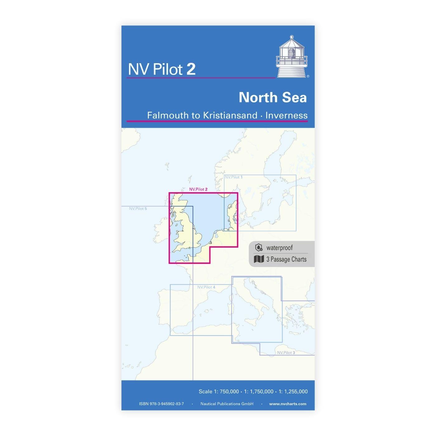
NV Charts Pilot 2, North Sea - Falmouth to Kristiansand - Inverness
NV Charts Pilot 2, North Sea - Falmouth to Kristiansand - InvernessThe Pilot 2 from NV Charts is the planning chart that is needed for the North Sea. The west coast of Denmark, the German North Sea an

€24.99*
Gebietsvorschau für NV Charts Spain ES3 - Gibraltar to Cabo de San Antonio öffnen
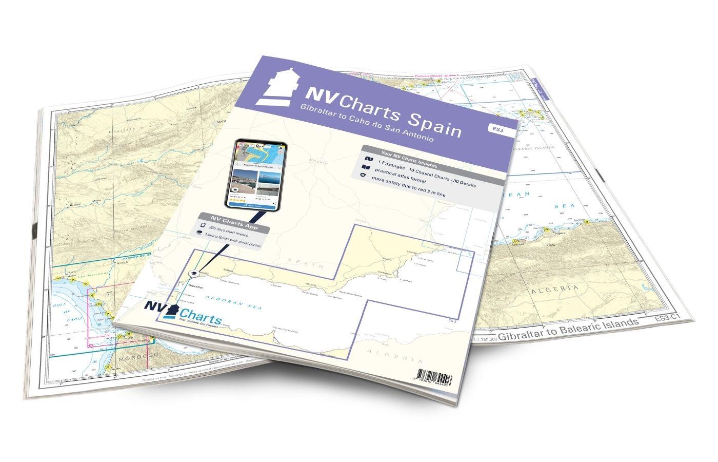
NV Charts Spain ES3 - Gibraltar to Cabo de San Antonio
With the NV Charts Spain Atlas ES3 takes you from the Strait of Gibraltar to Cabo de San Antonio. Thanks to the clear layout, the recreational skipper can quickly find approaches, harbours and anchora

€64.99*
Gebietsvorschau für NV Charts Baltic Region 4, East Germany - Rügen to Szczecin öffnen
NV Charts Baltic Region 4, East Germany - Rügen to Szczecin
The handy pleasureboat charts for the sea area around Rügen - Bodden waters - SzczecinIt contains the nautical charts in various sizes, as well as all harbor plans and details for approaches and passa

Variants from €59.99*
€74.99*
Gebietsvorschau für ANWB Waterkaart 18 - Ijsselmeer-Markermeer / Randmeeren öffnen
ANWB Waterkaart 18 - Ijsselmeer-Markermeer / Randmeeren
Netherlands inland map IJsselmeer Markermeer RandmerenThe north-eastern province of Drenthe is known for its semi-natural national parks and green landscapes through which navigable waterways run.Fold

€17.99*

Reviews

0 of 0 reviews

Leave a review!

Share your experiences with other customers.


Gebietsvorschau für NV Pilot 1, planning chart Baltic Sea - Kristiansand to Helsinki öffnen
NV Pilot 1, planning chart Baltic Sea - Kristiansand to Helsinki
NV Pilot 1, planning chart Baltic Sea - Kristiansand to HelsinkiThe Pilot 1 from NV Charts is an indispensable planning chart if you want to prepare for a Baltic Sea cruise. This chart for this popula

€24.99*
Gebietsvorschau für NV Charts Baltic Region 3 - Samsø - Sund - Kattegat öffnen
NV Charts Baltic Region 3 - Samsø - Sund - Kattegat
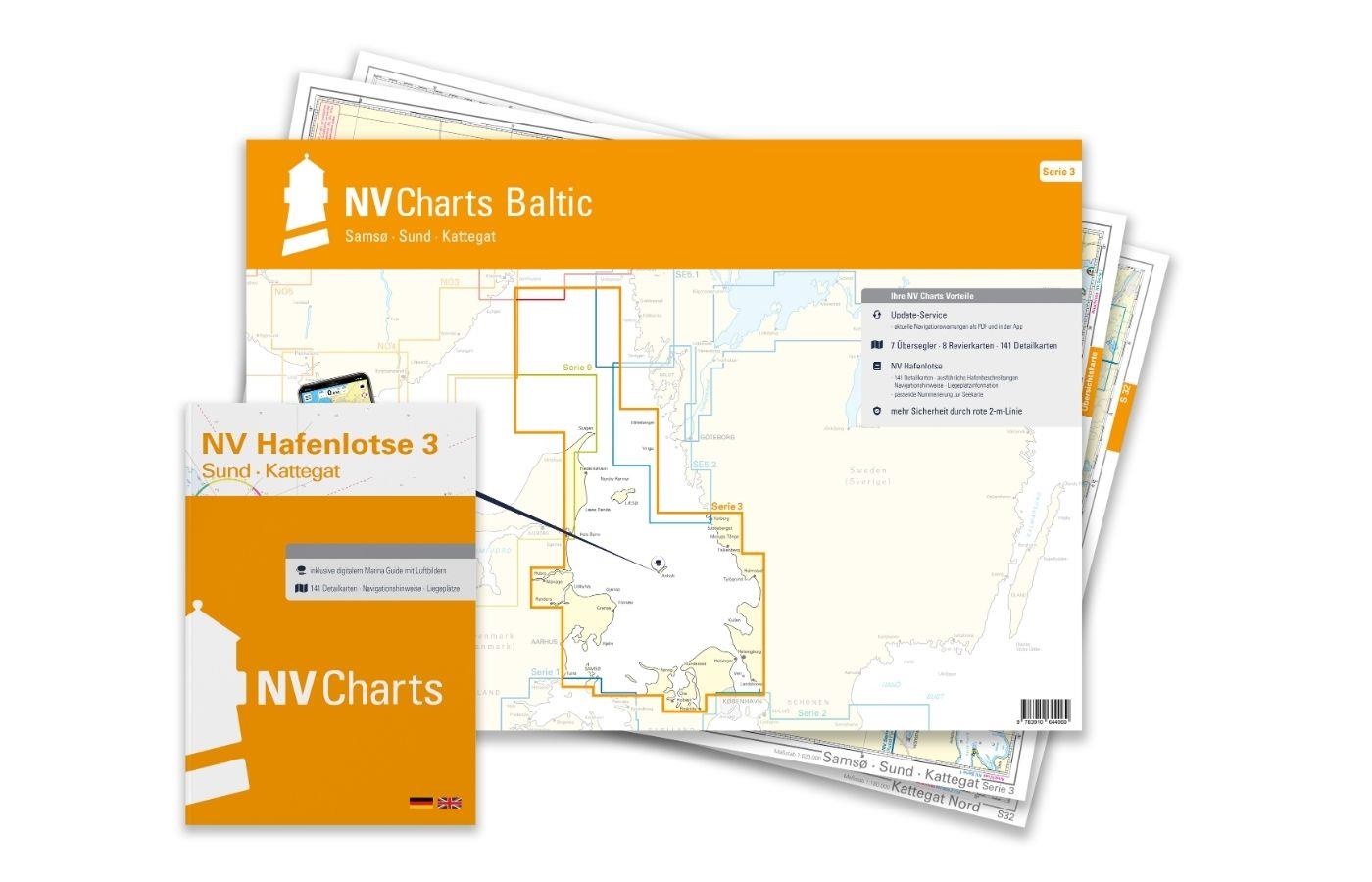
The handy pleasure craft charts for the sea area Samsø - Sund - Kattegat are a chart series specially designed for recreational boating. It contains the nautical charts in various sizes, as well as al

Variants from €59.99*
€74.99*
Gebietsvorschau für NV Charts Baltic Region 2 Lübeck - Bornholm - Copenhagen öffnen
NV Charts Baltic Region 2 Lübeck - Bornholm - Copenhagen
The handy pleasure craft charts for the sea area Bay of Lübeck - Bornholm - Copenhagen are a chart series specially designed for recreational boating. It contains the nautical charts in various sizes,

Variants from €75.99*
€94.99*
Gebietsvorschau für NV Einzelkarte S4 Flensburger Förde öffnen
NV Einzelkarte S4 Flensburger Förde
Double-sided nautical chart Flensburg. Chart sheet from NV Series 1 "Kiel Bight - Around Fyn".

€14.99*
Gebietsvorschau für NV Charts single nautical chart Flensburg Fjord öffnen
NV Charts single nautical chart Flensburg Fjord
Flensburg Fjord at a scale of 1:110,000; on the reverse the inner fjord at a scale of 1:50,000.Plastic chart in A3 format, particularly suitable for use on smaller boats. Thanks to the synthetic, poly

€14.99*
Gebietsvorschau für NV Charts Baltic Serie 3 Plano - East Denmark Single-Charts öffnen
NV Charts Baltic Serie 3 Plano - East Denmark Single-Charts
The NV Charts Baltic Series 3 Plano for the sea area Samsø - Sund - Kattegat is a chart series specially designed for recreational boating. It contains the nautical charts in various sizes, as well as

Variants from €59.99*
€74.99*
Gebietsvorschau für NV Charts Box North Germany to Norwegian border Region 1, 2, 3, 5.1, 5.2  öffnen
-33 %
NV Charts Box North Germany to Norwegian border Region 1, 2, 3, 5.1, 5.2
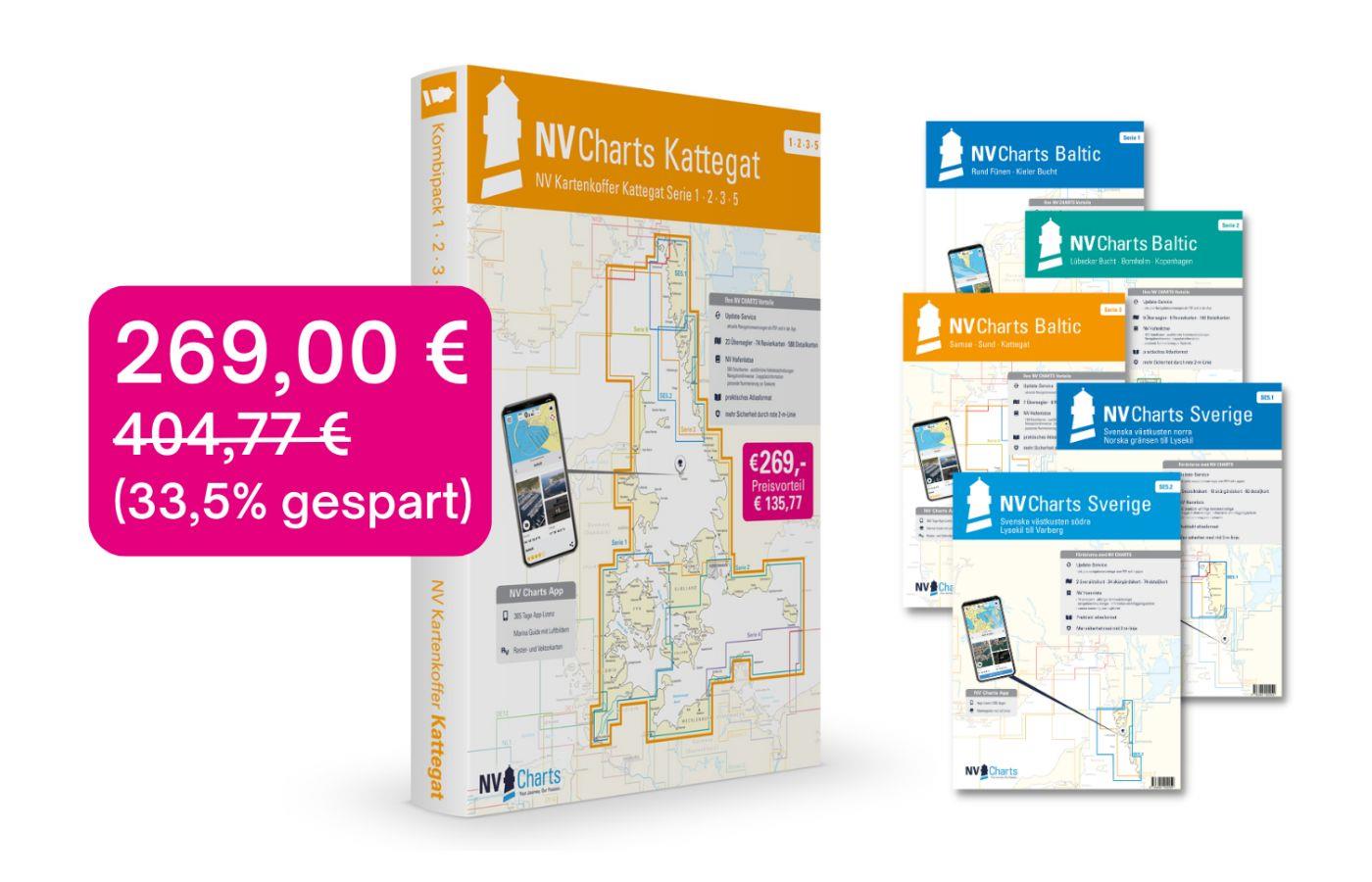
Those looking to save while still being optimally equipped to travel from Kiel Bay to the Norwegian border will be very well served by the NV Atlas Kattegat Case . The Kattegat Case includes the Serie

€269.00* €404.77* (33.54% saved)
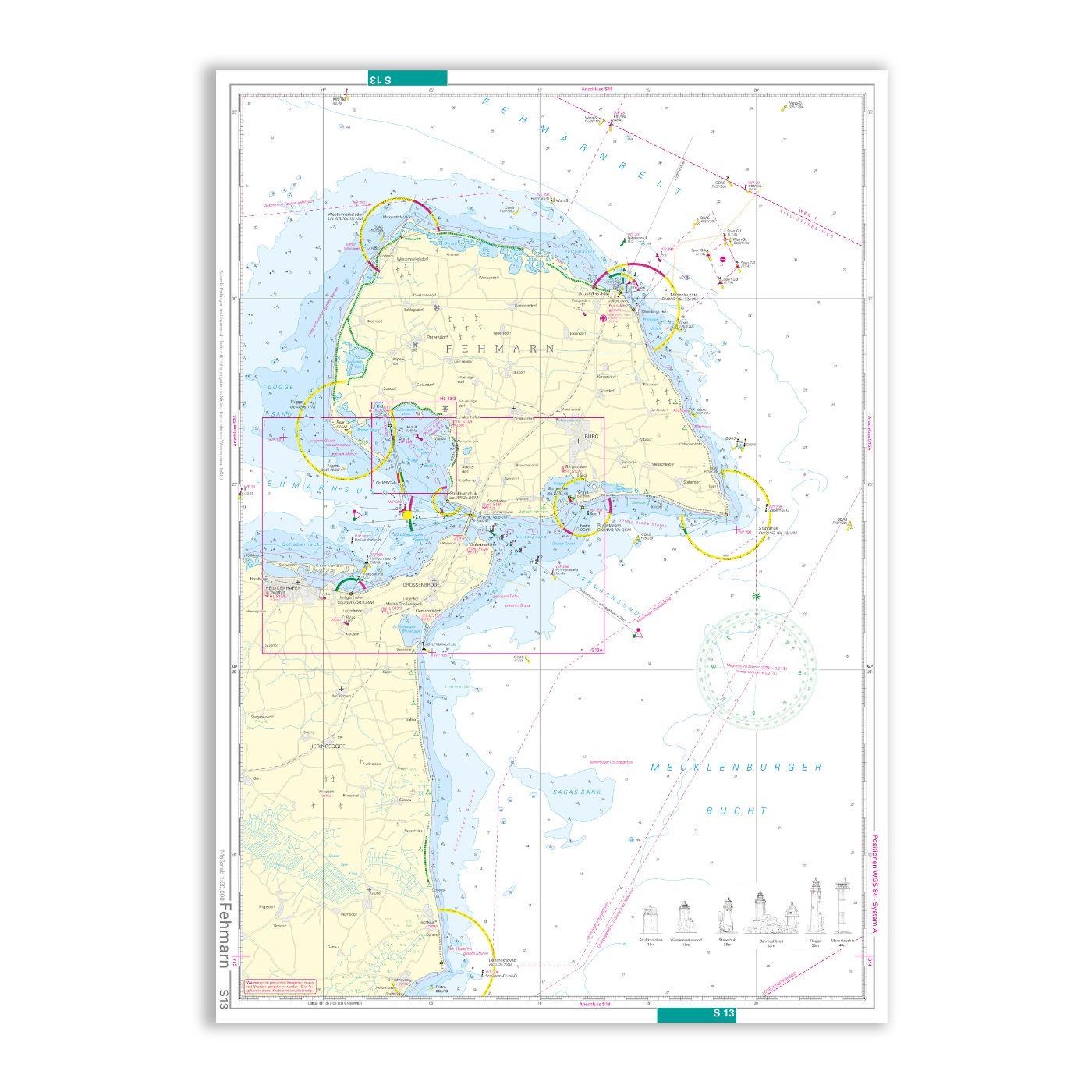
NV single nautical chart S13/13A Fehmarn/Fehmarnsund
Double-sided printed chart sheet for the Fehmarn and Fehmarn Sound area from the NV Charts Baltic Series 2 "Lübeck Bay - Bornholm - Copenhagen".

€14.99*
Gebietsvorschau für NV Charts Baltic Region 4, East Germany - Rügen to Szczecin öffnen
NV Charts Baltic Region 4, East Germany - Rügen to Szczecin
The handy pleasureboat charts for the sea area around Rügen - Bodden waters - SzczecinIt contains the nautical charts in various sizes, as well as all harbor plans and details for approaches and passa

Variants from €59.99*
€74.99*
Wegepunkte der Ostsee
Complete list of all waypoints recorded in the NV Charts Baltic Regions 1 - 4 for the Baltic Sea.The small booklet Waypoints Baltic Sea lists all waypoints recorded by the cartographers of the NV Char

€15.90*